Arizona Brevet & Randonnee
Home of Arizona Brevets and Long Distance Cycling
|
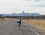
Greg & Lisa Jones on the tandem heading almost straight now for the sacred mountain Baboquivari. |
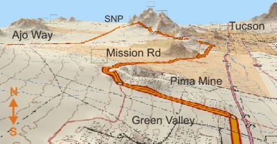
| Aerial Tour - Arivaca 400 km Brevet |
Looking back over your shoulder, maybe about noon time. You can't see the start from here. Saguaro National Park (SNP) in the distance was the second breakfast break. If you're curious about that hole in the ground at the Pima Mine, continue to the next page.
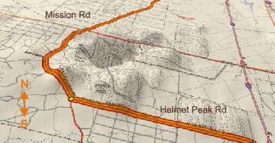
I've never actually seen this pit from the road, but now I'm curious. I figure it's either an open pit mine or a UFO landing site.
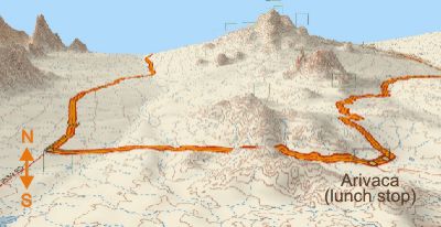
provided by Mike Sturgil Arivaca is the southern most point on our journey. There are a fair number of rollers to get to the lunch stop.
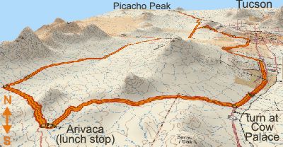
Here's another aerial view of our southern most loop. . provided by Mike Sturgill |